

Tour Builder. Maths Maps. If you're new here, you may want to subscribe to my weekly newsletter.
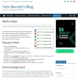
Thanks for visiting! I am excited to introduce you to my new project idea that I hope will result in some engaging content for our classes. It is collaborative in the same way the Interesting Ways resources are and I will need your help to make it a success. Elevator Pitch. Creative Classroom Tools: Math Quest - A Problem Solving Adventure. One of my favorite math units to do with upper elementary students is Math Quest!
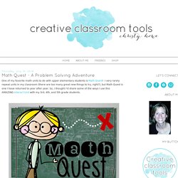
I very rarely repeat units in my classroom (there are too many great new things to try, right?) , but Math Quest is one I have returned to year after year. So, I thought I'd share some of the ways I use this AMAZING Interact Unit with my 3rd, 4th, and 5th grade students. Math Quest is set up like a game to engage and motivate students. Classroom Activities. StoryMap JS - Telling stories with maps. Explore the Moon and Mars in Google Maps. Google Earth Blog. Draw On Maps and Make Them Easily. Leading With Technology: Using Google Maps to Visualize Bus Routes. One of the most difficult things to understand when you walk into a district as Superintendent is bus routes.
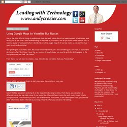
Most likely, you do not have a solid understanding of the roads in your district nor do you know where families live. It took me a year of confusion before I decided to create a google map of all our bus routes to provide the visual I need to gain understanding. Now pending on your district size, this could take some time but it’s also something you can train an assistant to do. Here is what I did. Since I have the new version of Google Maps, you need to go to the Settings gear in the top right corner and click “My Places”.
From there, you will want to create a map. Give it a title and you can begin to start place your placemarks on your map. Select the blue placemark and drop it on the map at the bus stop location. When you are done placing all placemarks in your map, you should have a nice view of all your stops and routes. Lesson Plan Library - Google Earth for Educators. Google Earth for Educators: 50 Exciting Ideas for the Classroom. March 14th, 2010 Google Earth has opened up potential for students in classrooms around the globe with its bird’s-eye view of the world.
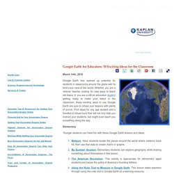
Whether you are a veteran teacher looking for new ways to teach old topics or you are a still an education student getting ready to make your debut in the classroom, these exciting ways to use Google Earth are sure to infuse your lessons with plenty of punch. Find ideas for any age student and a handful of virtual tours that will not only help you instruct your students, but might even teach you something along the way. Elementary Younger students can have fun with these Google Earth lessons and ideas. Meteors. Middle School These lessons cover a wide range of subjects and are just right for middle school students. San Francisco: visualizing a safer city. High School and Beyond These lessons are great for high school and college students and include literature, geography, history, and more. Around the World in 80 Days. All Ages Google Lit Trips.
Virtual Tours. Google Lit Trips. Maths Maps – an engaging way to teach Maths with Google Maps. It’s been around for a few years now and had plenty of interest from around the world already, but Mr G Online has only just discovered Maths Maps.
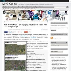
From first impressions, I am absolutely blown away by the idea. The brainchild of leading UK educator Tom Barrett, (now based in Australia), Maths Maps uses Google Maps as the launching pad for Maths Investigations. Barrett’s vision was for teachers around the world to collaborate on building Maths Maps, examples of some seen in the screenshots on the left. Here is a brief description of how it works from the Maths Maps website. Elevator PitchUsing Google Maps.Maths activities in different places around the world.One location, one maths topic, one map.Activities explained in placemarks in Google Maps.Placemarks geotagged to the maths it refers to. The collaboration aspect worked like this: ( again from the website) Classroom Activities. Creating Interactive Maps with Google Forms. Ever seen one of those maps with pins on them to represent places people have traveled to or come from?
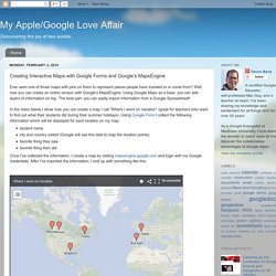
Well, now you can create an online version with Google’s MapsEngine. Using Google Maps as a base, you can add layers of information on top. The best part: you can easily import information from a Google Spreadsheet! In the video below I show how you can create a map I call "Where I went on Vacation” (great for teachers who want to find out what their students did during their summer holidays). Using Google Form I collect the following information which will be displayed for each location on my map:
Google Forms for GIS mapping.