
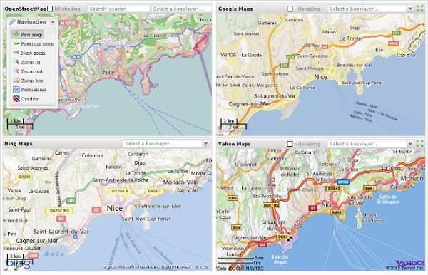
transparent map comparison openstreetmap google bing yahoo Données cartographiques ©2013 - Conditions d'utilisation Base Layer Google Streets Google MapMaker Google Aerial Google Physical Overlays OpenStreetMap Mapnik OSM Mapnik german style OSM Cycle Map ÖPNV Karte Mapquest OSM Hillshading Hiking Map ADFC Bicyclenetwork Map data © OpenStreetMap and contributors CC-BY-SA , NASA SRTM Permalink
OpenStreetMap wordpress www.Fotomobil.at »plugin OSM is a wordpress plugin that deals with geo data. Simply wordpress shortcode has to be used within your post or page to: There are some samples how to use this plugin, you might need a combination of different samples, simply take the shortcode arguments you need from each sample and put it into your shortcode for the map. Click on the image to see a live-version and the tutorial for each map! Using the OSM plugin shortcode generator To add simple OpenStreetMap maps into your blog the shortcode generator will fullfill your needs, just go to the settings page of OSM plugin, adjust the map and the zoom and click on the map to get the shortcode: Installation and upgrade 1.) download the plugin to your local machine 2.) unpack the plugin and upload the osm directory with FTP to /content/plugins 3.) activate the plugin in <Plugins> at admin area 4.) happy mapping IMPORTANT: Do not use “automatically upgrade” if you stored personal files (gpx, txt) in the OSM-plugin folder!! 4.) 5.) 6.) 7.)
OpenLayers Users - GisCloud showing tons of vectors features on Web Browser On 9/21/2011 4:16 PM, Etides wrote: > Ok but when moving the mouse fastly over the map it really > highlight the polygon feature under the cursor without > any query to database so it seems that they really > have all the map already loaded in vector format Nice. This is totally off topic from OpenLayers, though, so if we get asked to knock it off, well okay. :) I'm looking at their site now with Firebug. The short version: Wax and TileStream and MapBox can apparently provide this sort of functionality. The long version: The page loads a set of JSON files, each one being a tile. The JSON tiles have pixel information basically being 4-point polygons of pixels, a style (R, G, B, width), and classification-ID. I'd heard about it in theory, but seeing it in action makes me quite hungry to get more involved.
TOPOMAPPER Compare Maps Nutzungsbedingungen Scale = 1 : 111m z:3 2000 km 1000 mi Base Layer Topographic Maps (Zoom In) Google Street Map Google Hybrid Map Google Terrain Map Bing Street Map Bing Hybrid Map Yahoo Street Map Yahoo Hybrid Map OpenStreetMap (Mapnik) OpenStreetMap (Tiles@Home) Map data hosted by Atlogis Topographic Maps (Zoom In) Google Street Map Google Hybrid Map Google Terrain Map Yahoo Street Map Yahoo Hybrid Map OpenStreetMap (Mapnik) OpenStreetMap (Tiles@Home) Click here for URL-Link of this View | Topographic Maps Coverage | Soviet Military Maps Documentation La Cantine Vous avez envie de comprendre la création de cartes en mode Wikipedia ? Vous voulez vous lancer dans la cartographie de votre quartier ou votre ville? Rejoignez des contributeurs du projet à La Cantine le vendredi 2 Septembre pour une initiation gratuite à la Néo Cartographie. OpenStreetMap est une carte du monde entier librement modifiable, faite par des gens comme vous. Elle vous permet de voir, modifier et utiliser des données géographiques de n'importe quel endroit dans le monde. OpenStreetMap crée et fournit des données géographiques libres, telles quedes cartes routières ou cyclables, à quiconque en aura besoin. Vous avez envie de comprendre la création de cartes en mode Wikipedia ? Au programme (Niveau Débutant) 1. 2. Matériel recommandé mais facultatif:- Ordinateur portable- GPS- Bloc Note- Dictaphone numérique- Appareil photo numérique
Participatory Maps for Inclusive Cities With the multi-dimensional complex challenges facing the world today, participatory maps provide a unique way of engaging citizens. Photo by Lee Shaver. Urban planners, designers and architects have their work cut out for them. The rate of urbanization around the world means that we have to reconfigure the way we think, design and plan cities. It is not like starting from scratch on a clean canvas. Reconstructing existing cities to fit the needs of a larger population will be especially difficult because it will require planners to accommodate the needs of current urbanites, while forecasting the needs of future urbanites. This is where participatory maps are an increasingly important aspect of studying and planning more inclusive cities. In 2010, Make designed and shared a map, which he calls “USE/LESS,” to bring to attention the dismal circumstances cyclists had to endure in his hometown of Moscow.