

World War II General Resources WWII Web Sites Encyclopedia of the Second World War The Second World War is a Spartacus Educational website and enables one to research individual people and events of the war in detail. The sources are “hypertexted” so that the visitor can research the newspaper, organization, etc., that produced the source. Youth Leadership Initiative ahaglin Account | Log out Teacher Code:NY1599-001 Join the 96,545 teachers who’ve discovered YLI. Go to the Teacher Dashboard YLI, a program of the University of Virginia Center for Politics, develops FREE education resources designed to assist civics teachers, and encourage students to participate in the political process. Signup to access these programs:
The World Factbook People from nearly every country share information with CIA, and new individuals contact us daily. If you have information you think might interest CIA due to our foreign intelligence collection mission, there are many ways to reach us. If you know of an imminent threat to a location inside the U.S., immediately contact your local law enforcement or FBI Field Office. Teaching for Peace - Web sources for peace and social justice education Welcome to the Teaching for Peace Website "Peace cannot be achieved through violence, it can only be attained through understanding." - Ralph Waldo Emerson If our schools today are to produce truly global citizens, then that puts a heavy burden on educators to stimulate critical thinking about the critical issues of the day – war and peace, global conflict and inequality, issues of gender, race, class, and so on. It’s a long list. Teaching for Peace is a new web resource where we bring it all together, and provide easy-to-use, practical classroom lessons as well as comprehensive links to resources for peace education.
Climate Change and Global Warming Introduction On this page: What is Global Warming and Climate Change? Global warming and climate change refer to an increase in average global temperatures. Natural events and human activities are believed to be contributing to an increase in average global temperatures. This is caused primarily by increases in greenhouse gases such as Carbon Dioxide (CO2). Edutopia Elections: Digital Resources for Educators This election has been unlike any in modern history. According to a survey of educators by Teaching Tolerance, the campaign’s contentious tone has spilled over into classrooms. Presidential elections are exciting for students and provide an opportunity to discuss and debate a range of issues in the classroom. But this year, that excitement is more likely to turn into conflict. Setting ground rules and promoting civility in debates can help students avoid conflicts and encourage fruitful debates.
Enduring Voices Project, Endangered Languages, Map, Facts, Photos, Videos Explore Talking Dictionaries The Enduring Voices team is pleased to present these Talking Dictionaries, giving listeners around the world a chance to hear some of the most little-known sounds of human speech. Several communities are now offering the online record of their language to be shared by any interested person around the world. DISCUSSION: peace quotes “When I despair, I remember that all through history the way of truth and love has always won. There have been tyrants and murderers and for a time they seem invincible but in the end, they always fall — think of it, always!” “I claim to be no more than an average person with less than average ability. I have not the shadow of doubt that any man or woman can achieve what I have, if he or she would make the same effort and cultivate the same hope and faith.” “It is better to be violent, if there is violence in our hearts, than to put on the cloak of nonviolence to cover impotence.” “It is unwise to be too sure of one’s own wisdom.
The Dangers of Credit Cards Credit cards are potentially dangerous, especially for new credit card users who may be fascinated by the allure of what seems like “free” money. Even some experienced credit card users still fall into credit card traps. If you’re thinking about getting a credit card – or wondering whether to drop your credit cards – understanding the dangers that come along with credit cards can help you cultivate better credit card habits.
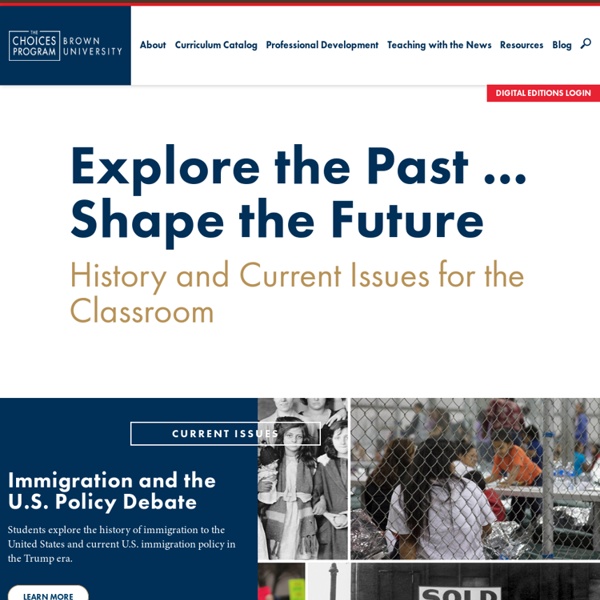
The website “Choices” will be a good primary source because students will be able to view past events and then compare those events with current events happening today. This will allow the students to relate what has happened in the past to what is happening in the present time. Many times students may not feel that what has happened in the past is important, but when students can see the same type of things are still happening today then connections to history become relevant to students. by teresa8sant Jul 31