

The Internet map The map of the Internet Like any other map, The Internet map is a scheme displaying objects’ relative position; but unlike real maps (e.g. the map of the Earth) or virtual maps (e.g. the map of Mordor), the objects shown on it are not aligned on a surface. Mathematically speaking, The Internet map is a bi-dimensional presentation of links between websites on the Internet. Every site is a circle on the map, and its size is determined by website traffic, the larger the amount of traffic, the bigger the circle. Charges and springs To draw an analogy from classical physics, one may say that websites are electrically charged bodies, while links between them are springs. Also, an analogy can be drawn from quantum physics. Anyway, the real algorithm of plotting The Internet map is quite far from the analogies given above. Semantic web The map of the Internet is a photo shot of the global network as of end of 2011 (however, baloons show actual statistics from Alexa). The Internet Phenomenon
Virtual Star Party Government Surplus Auctions - GovDeals.com The Kneeslider — Doers and Builders Congregate Here Astronomy Photographer of the Year 2011 9 September 2011Last updated at 09:44 From giant oval storms on the surface of Jupiter to colourful wispy remnants from a supernova explosion and the dazzling green curtain of the Northern Lights - nearly 800 images were submitted for the latest Astronomy Photographer of the Year competition. Take a look at some of the winning photos with two of the judges from the Royal Observatory Greenwich, public astronomer Marek Kukula and astronomy programmes manager Olivia Johnson. Continue reading the main story Click the bottom right of the slideshow for detailed captions. The judges' choice of the best images can be seen in a free exhibition at the Royal Observatory Greenwich, London, until February 2012. Astronomy Photographer of the Year is run by the Royal Observatory Greenwich and Sky at Night Magazine. Music courtesy KPM Music. Related: National Maritime Museum - Astronomy Photographer of the Year 2011 Royal Observatory Greenwich Sky at Night Magazine More audio slideshows: Probing plasma
Print Friendly & PDF Q code The Q code is a standardized collection of three-letter message encodings, also known as a brevity code, all of which start with the letter "Q", initially developed for commercial radiotelegraph communication, and later adopted by other radio services, especially amateur radio. Although Q codes were created when radio used Morse code exclusively, they continued to be employed after the introduction of voice transmissions. To avoid confusion, transmitter call signs are restricted; while an embedded three-letter Q sequence may occur (for instance when requested by an amateur radio station dedicated to low-power operation), no country is ever issued an ITU prefix starting with "Q". The codes in the range QAA–QNZ are reserved for aeronautical use; QOA–QQZ for maritime use and QRA–QUZ for all services. Early developments[edit] The following table reviews a sample of the all-services Q codes adopted by the 1912 Convention: Later usage[edit] Breakdown by service[edit] Amateur radio[edit]
Chappel Astro /Film | Blogging the Reel World
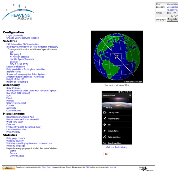
pour connaitre la position de la station spatiale internationale au-dessus d'un lieu donné. by naturesetsciences Jul 23