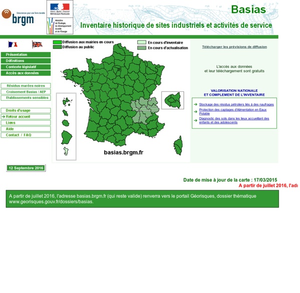
Sites industriels - Brgm
FIRMS - Fire Map
This map presents low-resolution imagery for the world and high-resolution imagery for the United States and other metropolitan areas around the world. The map includes NASA Blue Marble: Next Generation 500m resolution imagery at small scales (above 1:1,000,000), i-cubed 15m eSAT imagery at medium-to-large scales (down to 1:70,000) for the world, and USGS 15m Landsat imagery for Antarctica. It also includes 1m i-cubed Nationwide Select imagery for the continental United States, and GeoEye IKONOS 1m resolution imagery for Hawaii, parts of Alaska, and several hundred metropolitan areas around the world. For more information on this map, including the terms of use, visit more details This worldwide street map presents highway-level data for the world and street-level data for the United States, Canada, Europe, Southern Africa and elsewhere. more details This layer portrays elevation as an artistic hillshade. more details more details
Related:
Related:


