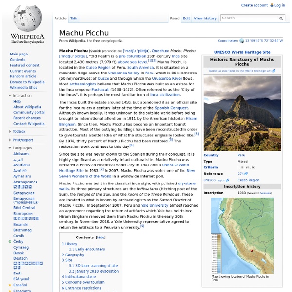
Machu Picchu

Kyoto
Kyoto (京都市, Kyōto-shi?) (Japanese pronunciation: [kʲoːꜜto] ( )) historically known as Meaco is a city located in the central part of the island of Honshu, Japan. It has a population close to 1.5 million. Formerly the imperial capital of Japan for more than one thousand years, it is now the capital city of Kyoto Prefecture located in the Kansai region, as well as a major part of the Kyoto-Osaka-Kobe metropolitan area. Name[edit] 18th century map with the Japanese capital "Meaco" In Japanese, the city has been called Kyō (京), Miyako (都), or Kyō no Miyako (京の都). An obsolete spelling for the city's name is Kioto; it was formerly known to the West as Meaco (/miːækoʊ/; Japanese: 都; miyako, meaning "the seat of Imperial palace" or "capital".) History[edit] Daidairi and a panoramic view of Heian-kyō (restoration model) Origins[edit] Heian-kyō[edit] The city suffered extensive destruction in the Ōnin War of 1467-1477, and did not really recover until the mid-16th century. Geography[edit] Climate[edit]
Nara, Nara
Nara (奈良市, Nara-shi?) is the capital city of Nara Prefecture located in the Kansai region of Japan. The city occupies the northern part of Nara Prefecture, directly bordering Kyoto Prefecture. Eight temples, shrines and ruins in Nara, specifically Tōdai-ji, Saidai-ji, Kōfuku-ji, Kasuga Shrine, Gangō-ji, Yakushi-ji, Tōshōdai-ji, and the Heijō Palace remain, together with Kasugayama Primeval Forest, collectively form "Historic Monuments of Ancient Nara", a UNESCO World Heritage Site. Etymology[edit] There used to be a variety of transcription for Nara by Heian period. Various theories have been suggested over the origin of the name Nara, and here are five relatively famous ones. There is the idea in the Nihon shoki that Nara was derived from narasu (to flatten). History[edit] Nara was the capital of Japan from 710 to 784, lending its name to the Nara period. In 2010, Nara celebrated the 1,300th anniversary of its ascension as Japan's imperial capital.[11] Modern Nara[edit] Geography[edit]
Related:
Related:


