background preloader

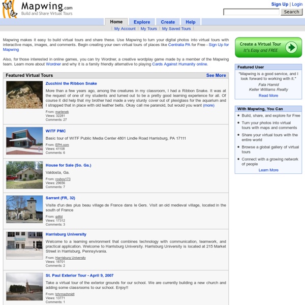
Mapwing Virtual Tours

Mapwing Virtual Tours

Polaris Csillagvizsgáló | Magyar Csillagászati Egyesület Virtual Fieldtrips The concept of Virtual Field trips has been around for a long time. In the past they have been very structured. Developers and educators have created the websites and content focused on the specific needs of the target audience and subject area. Concept map The database driven applications of Web 2.0 are what is allowing us to develop these trips. From Google: Google has given us a variety of tools we can use. Google earth and Google Sketch up - these are different tools but I have them together because of what you can do with them. Google maps and Street view - If you have seen the video of the iphones integration of Google maps you will know about the power of this product. Google Sky Google earth 4.2 has a new feature for a virtual trips to the more unreachable locations. Google Sky video From Microsoft: From Wikimapia This is another on-line map tool. Other options GIS - GIS stands for Geographical information systems. A Classroom project - coral reefs Palazzo del Te Sant' Andrea Mantova Links

Jeux éducatifs - Géographie Khan Academy Sheppard Software: Fun free online learning games and activities Social Studies for Kids Waze Magyarország Csoport USA Geography - Map Game - Geography Online Games "I stumbled upon your fun interactive geography games from a link on the Massachusetts Geographic Alliance Website. Since then, your games have become quite a hit with my competitive colleagues!" --Candice Gomes, Education Outreach Coordinator, Boston Public Library Sheppard Software's geography games were featured in the Boston Public Library's 2006 Exhibition on Mapping! "Terrific online educational games, especially geography." "I am a middle school social studies teacher who also sponsors a geography club after school. "Awesome site... it is the only reason I am passing my World Geography class!" "We love your interactive maps and are using them for 10th grade world history." "Let me say that you guys have an awesome website.

VIRB Edit | Garmin | United States Plan a Trip Use BaseCamp to plan your next hiking, biking, motorcycling, driving or off-roading trip. You can view maps, plan routes, and mark waypoints and tracks from your computer and then transfer them to your device. Track Draw feature lets you trace your planned route and view elevation changes, helping you estimate the difficulty of a hike or bike ride. Plan the perfect scenic route for your next road trip, making sure your navigator takes you through certain waypoints. Play back your routes and tracks over time and save and share your adventure. Survey the Terrain BaseCamp displays your topographic map data in 2-D or 3-D on your computer screen, including contour lines and elevation profiles. Geotag Photos BaseCamp lets you geotag photos, associating them with specific waypoints. Create and Share Adventures Garmin Adventures provides a free, interactive way to share your hikes, bike rides, road trips and more. Transfer Satellite Images

Ben's Guide: Grades K-2 Our Nation | Our Government | Your Neighborhood | Ben's ABCs | Symbols of U.S. Government Games and Activities | U.S. Government Web Sites for Kid A világ összes repülőjárata egyetlen videón | Érdekes Világ A The Swiss Science Center, az Institute of Applied Information Technology és a Zurich University of Applied Sciences különlegesMaho Beach - a tengerpart ahol repülők szállnak a strandolók feje fellett. látványt készített a bolygónk légterében naponta közlekedő utasszállító gépekről. Már a számadatok is elképesztőA világ leghosszabb pingvinmerülését dokumentálták a Déli-sarkvidéken. ek: naponta átlagosan 93 000 polgári repülő indul útnak a világ közel 9000 repülőElindult a világ legrövidebb nemzetközi repülőjárata. teréről. Az is kiderült, hogy minden pillanatban 8-13 ezer repülőgép tartózkodik a levegőben. A repülőkLátványos videó Amerika egynapi légi forgalomáról. Ha érdekesnek találod a cikket, oszd meg ismerőseiddel is!

The Living Room Candidate

Related: