

Google Street View Atlas historique gratuit - Site de atlas-historique-universel ! Etymology of African countries' names By hovering over the names, you will see the actual country's name and other possible etymologies. Why this map? This map was inspired by this etymological map of the USA. It does not claim to be exact; etymology is not an accurate science. 18th and 19th century armchair historians, geographers and linguists wrote countless books to explain the etymology of place names. Their idea was to explain the origin of Africans by tracing African languages back to a certain part of the world. The most famous example was the Hamitic hypothesis - if a toponym could be linked with Ham, son of Noah, it meant that an ethnic group in particular came from Egypt or the Middle East. A nonsensical map? This map aims at showing the variety of names used to designate African countries in modern English. Under a more historical angle, countries such as Burkina Faso chose to be called in 1984 the "land of Honest Men" as it was known under the colonial name of "Upper Volta" before. Why this projection?
Westmoreland County Tax Maps The Westmoreland County Department of Geographic Information Systems helps Westmoreland County to fulfill a statutory requirement that all taxable property needs to be mapped to aid in the tax assessment process. Using cutting age technology, Westmoreland GIS is able to provide a layout of properties, at and below the surface, both in the past and present. This information is made available in a variety of formats to the paying and public requestors via the GIS Tax Mapping website and a secure file transfer site. New GIS Tax Mapping Site with No Subscription FeesMonday, November 18, 2013, Westmoreland County launched a new GIS Tax Map Parcel Application. Those who pay for subscriber access will no longer be charged for added features beginning on the first of November. The new version of the GIS Tax Map Parcel Application has increased functionality and a subscription will no longer be necessary to search by address or view deeds. Feel free to email any questions, comments or concerns.
L'Antiquité en cartes animées - Vincent Boqueho raconte... l'Antiquité Je vous propose une incursion dans la Haute Antiquité, aux racines de l’Histoire, là où tout se met en place, là où émerge de par le monde le fil des civilisations qui se déroule jusqu’à aujourd’hui. La Haute Antiquité, c’est aussi 2800 ans d’Histoire, de 3300 à 525 avant J.C. : c’est-à-dire une durée plus longue que celle qui nous sépare de ces époques reculées. Lorsque le pharaon Psammétique III est détrôné par le Perse Cambyse II, les grandes pyramides de Gizeh sont déjà dressées depuis plus de 2000 ans : tout autant qu’aujourd’hui elles semblent issues du fond des âges, comme érigées par les dieux. Car la Haute Antiquité, c’est avant tout l’éclat de deux civilisations d’une précocité remarquable, héritières du Croissant Fertile : la Mésopotamie et l’Égypte. La haute Antiquité en 36 épisodes Notre collaborateur Vincent Boqueho enseigne les sciences à Nice. Herodote.net Et que dire de la civilisation de l’Indus, disparue entre 1900 et 1800 avant JC en emportant ses secrets avec elle ?
Afternoon Map The Map Room The Map Room is a blog that points to maps, map collections, map-related resources, and material about maps on the web. Anything that fits under that rubric, from medieval mappæ mundi to satellite imagery, and from topo maps to Tolkien, is fair game. Launched in March 2003, The Map Room is aimed at a broad audience. While cartographers and people in the geospatial industry seem to enjoy reading it, it’s meant to be accessible to anyone with nothing more than an interest in maps. Need more information? About the Author I’m Jonathan Crowe, and I’m not a map expert. My training is in European history, but I work as an editor and writer, both online and in the public sector. Ankylose This! My personal site is at mcwetboy.com, where I also have a personal blog. You can also find me on Facebook, Flickr, FriendFeed, Gowalla, LibraryThing, LinkedIn, LiveJournal, MetaFilter, OpenStreetMap, Twitter and YouTube. Privacy Information
Il était une fois - Le calendrier cosmique Si la fin de l’Univers est prévue dans des dizaines de milliards d’années, les scientifiques ont déjà mis en avant plusieurs scénarii qui pourraient l’expliquer. - Le Big Crunch : Il s’agit d’une sorte de Big Bang inversé. Nous l’avons vu, l’espace-temps est né grâce au Big Bang, à partir d’une singularité minuscule. L’Univers, à la fin, pourrait donc revenir à son état d’origine. - Le Big Freeze : Puisque l’Univers est toujours en pleine expansion, les astrophysiciens supposent que celle-ci continuera indéfiniment. - Le Big Rip : Là aussi l’Univers continuerait de s’étendre, mais à un rythme tellement rapide que toutes les structures finiraient par se déchirer.
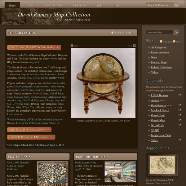
Un site très surprenant qui offre non seulement des reproductions de cartes anciennes de très bonnes qualitées, mais aussi la possibilité de les utiliser à travers Google Map afin de les mettre en 3D ou bien de comparer avec les cartes actuelles. by jeanfrancoisleblanc Jan 23