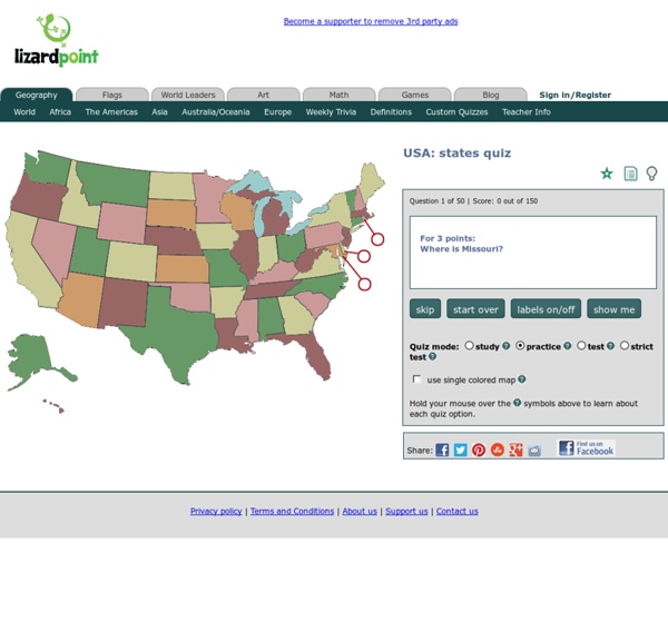
USA Geography - Map Game - Geography Online Games "I stumbled upon your fun interactive geography games from a link on the Massachusetts Geographic Alliance Website. Since then, your games have become quite a hit with my competitive colleagues!" --Candice Gomes, Education Outreach Coordinator, Boston Public Library Sheppard Software's geography games were featured in the Boston Public Library's 2006 Exhibition on Mapping! "Terrific online educational games, especially geography." "I am a middle school social studies teacher who also sponsors a geography club after school. "Awesome site... it is the only reason I am passing my World Geography class!" "We love your interactive maps and are using them for 10th grade world history." "Let me say that you guys have an awesome website.
Declaration of Independence In early 1776, American public opinion was deeply divided over the issue of declaring independence from Britain. A discernible drift toward independence was occurring, but the publication of Thomas Paine’s Common Sense and news of King George III’s decision to hire foreign mercenary soldiers to fight in America radicalized the views of many. On May 10, the Continental Congress adopted a resolution that urged the states to form their own independent governments to replace the defunct royal governments. Despite this action, opinion remained divided over the wisdom of having Congress itself make a statement of independence. On June 7, 1776, the Virginia delegate Richard Henry Lee, acting in accord with the instructions which the Virginia convention had given their delegation, brought three resolutions before the Congress: A statement of independence that concluded with the words, "These United Colonies are, and of right ought to be, free and independent States." 1. 2.
50 Life Hacks to Simplify your World Life hacks are little ways to make our lives easier. These low-budget tips and trick can help you organize and de-clutter space; prolong and preserve your products; or teach you something (e.g., tie a full Windsor) that you simply did not know before. Most of these came from a great post on tumblr. There is also a great subreddit ‘r/lifehacks‘ with some fantastic tips as well. 20. 40. Sources – muxedo task: 99 Life Hacks to make your life easier! If you enjoyed this post, the Sifter highly recommends:
Got Maps? - Maps for Educational Purposes Welcome to "Got Maps?", a site designed for the purpose of providing a collection of high quality maps to be used in the classroom. It aims to support any discipline where using maps would enhance an educator's curriculum. All maps come in two formats; Adobe Acrobat (PDF) for easy printing and class distribution and Microsoft PowerPoint (PPT) for editing and developing courseware. See also GIS and mapping services available to the Hofstra community. Conditions You may use the material for educational purposes only, such as class handouts. Contact: Dr. © 2005 Department of Economics & Geography Hofstra University Hempstead, New York, USA 11549
American Revolution - American war of independence On the outbreak of the war the American colonies were, from North to South; Maine, New Hampshire, Massachusetts, Rhode Island and Connecticut (making up New England), New York, Pennsylvania, New Jersey, Delaware, Maryland, Virginia, North Carolina, South Carolina and Georgia. The principal cities were Boston in Massachusetts, New York, Philadelphia, the colonial capital of Pennsylvania, and Charleston, the capital of South Carolina. To the North of the colonies lay the British province of Canada, with its mainly French speaking population, and to the West the hinterland of the American landmass. The American colonies differed widely. Boston was a busy port, reputed to be one of the wealthiest in the English speaking world. New York contained a polyglot population of Dutch, Swedes and English. Pennsylvania, established by the Quaker Penn family, had been hamstrung in the early part of the 18th Century by the stranglehold the Quakers maintained on government. The City of Philadelphia Concord:
Knot Library from Scarves Dot Net Hello there! Welcome to The Knot Library. Are you ready to knot, twist, tie, tuck, loop, braid, fold, and fluff with Scarves Dot Net? How to Use Scarves.net How does The Knot Library work, you ask? On the left-hand side of your screen, simply find the type of scarf you want to learn more about. If you would like to see all of Scarves Dot Net’s knots in one spot, check out The Master List. Need more help? Google Earth en Hist Géo : Présentation 1-PRESENTATION GOOGLE EARTH 2-LES CONCURRENTS ? 3-COMPARAISON avec le GEOPORTAIL -Pourquoi un produit gratuit ? En réalité, il existe plusieurs versions : -version de base gratuite -versions payantes -Quelles informations sont disponibles ? Tout dépend de l'espace à visualiser ! Pour l'Europe et l'Asie, la résolution actuelle suffit pour visualiser des quartiers ou rues des (très) grandes villes, ainsi que pour se rendre compte des paysages. Attention toutefois, beaucoup d'espaces ne sont pas disponibles en haute résolution et le zoom sera... flou ! Google indique que sa priorité actuelle serait de couvrir l'Europe... -Puis-je utiliser Google earth ? Tout dépend - du matériel utilisé : l'application nécessite un ordinateur puissant (donc récent) avec windows XP, un processeur de type pentium 4 à 3,5 Ghz, avec 512 Mo de mémoire vive, une carte graphique 3D avec32 Mo de vram et 2Go de libre sur le disque dur. -Comment fonctionne-t-il ? -Comment l'installer ? -Est-ce difficile à utiliser ?
Civil Rights Movement (United States) The American Civil Rights Movement began in the 1950s. It was a mass protest by African American people against segregation and discrimination based on race and colour. They fought for equal rights to education and jobs, and the freedom and right to represent themselves politically and legally. Civil rights for African-Americans Even after slavery was made illegal in the United Sates, African Americans did not enjoy the same freedom and rights as the white man. Britannica School Britannica School is a part of the EPIC databases which is a collection of reliable databases covering lots of different topics. Use search words like 'American civil rights' to bring up the page American Civil rights movement. Tips: To get to the EPIC resources you will need a password from your school librarian first. Khan Academy This educational website offers information and instructional videos on various subjects for students to learn at their own pace. The Black Past Protesters and activists Primary Sources
Cartographie - L'art de cartographier le monde - Mes cartes pas à pas (Carpe Diem) Cours d'histoire, d'art et de cartographie d'Ellen McHenry. Qui n’a jamais rêvé de connaître le monde entier ? Avec humour et prise en main étape par étape, ce rêve est à portée de tous ! Composé de 30 leçons historiques et de 50 cartes à réaliser, ce programme intelligent, complet et passionnant ravira les cartographes en herbe et les géographes amateurs. Etudiants concernés : de 9 ans jusqu’à … 99 ans ! Ce programme comprend 5 fichiers : Aventures, récits et biographies : 30 leçons d’Histoire relatant la découverte progressive de la géographie et de la cartographie, sur plusieurs milliers d’années, des Babyloniens et des Grecs jusqu’à l’exploration de l’Antarctique au XIXe siècle. (64 pages) Mes cartes pas à pas : 50 leçons de dessins amusantes, reliées aux leçons du livret d’Aventures, récits et biographies.
Comparing Civil War Recruitment Posters Students will compare and contrast military recruitment posters to analyze various perspectives regarding the role of African Americans during the Civil War. They will determine the purpose of each poster—one recruiting black men for the Union Army and one for the Confederacy—and analyze how the use of language conveys the intended message. Suggested Teaching Instructions Use this activity when studying the different perspectives on the recruitment of African Americans and the institution of slavery during a unit on the Civil War. It can provide an introduction to the relationship between military service, emancipation, and Union victory. For grades 7-12. Prompt students to carefully examine the two documents with the discussion questions provided. Who do you think created each of these posters. Explain that issues of emancipation and military service were intertwined from the onset of the Civil War.
SAT Subject Test: U.S. History: Toward War Toward War Abraham Lincoln’s victory in the election of 1860 began a chain of events that pushed the nation rapidly toward civil war. Secession During the 1860 election, some Southerners threatened secession pending Lincoln’s victory, even though he promised that while he would forbid the extension of slavery into the territories, he would not interfere with slavery in the South. Lincoln refused to recognize the confederacy and declared the secession “legally void.” However, the nation’s rift only widened in the early months of Lincoln’s presidency. The Confederate attack on federal troops at Fort Sumter sparked the secession of the Upper South and the commitment of the North to war . Mobilizing for War Each side predicted an early victory for itself. The Union’s advantages over the South: Population size: The North had a population of 22 million (23 states) versus the South’s 9 million (11 states). The Confederacy’s advantages over the North: