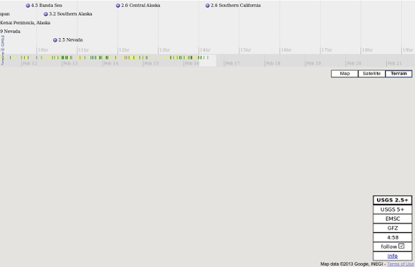


U.S. Geological Survey Earthquake Hazards Program 39 séismes en 48h: selon le très célèbre sismologue Roumain, Gheorghe Marmureanu, la terre va s'effondrer ! ALERTE sismique jamais égalée sur l'ensemble du globe suite à l'impuissance des scientifiques à comprendre la situation Les scientifiques ne trouvent pas d'explication pour les tremblements de terre, 39 qui ont secoué la planète en seulement 2 jours. "Quelque chose ne va pas! Il y a trop de forts tremblements de terre» selon le très célèbre sismologue Roumain, Gheorghe Marmureanu. « Le dernier tremblement de terre indonésien est très inhabituel ». La série de chocs (8,6 et 8,2 sur l'échelle de Richter) qui a secoué l'Indonésie ces derniers jours et trois autres séismes au Mexique (7, 6,9 et 6,2 sur l'échelle de Richter), puis deux autres encore tremblements mineurs en Roumanie (3.5 sous la tablette de la mer Noire) est très préoccupante. "C’est un événement extraordinaire qui ne peut pas être expliqué par la science" dit le spécialiste roumain. Traduction Alexander Doyle pour WikiStrike MAG Date-heure UTC y / m / dh: m: s LAT deg LON deg PROFONDEUR km Région
Global Disaster Alert and Coordination System Human-made earthquakes reported in central U.S National Earthquake Information Center - NEIC Earthquake Hazards Program National Earthquake Information Center - NEIC The mission of the National Earthquake Information Center (NEIC) is to determine rapidly the location and size of all destructive earthquakes worldwide and to immediately disseminate this information to concerned national and international agencies, scientists, and the general public. Earthquake Data Available from the NEIC Share this page: U.S. DOI and USGS link policies apply.
Le terrible Santorin se réveille ! Mercredi 18 avril 2012 3 18 /04 /Avr /2012 20:17 Le terrible Santorin se réveille ! Santorin: le volcan le plus redoutable de l’histoire se réveille et se fait de plus en plus menaçant La British Broadcasting Company a nommé meilleure île du monde en 2011. Santorin est un pôle d’attraction touristique, célèbre pour ses vues à couper le souffle, des couchers de soleil à flanc de falaise. C’est aussi une île volcanique qui a été relativement calme depuis sa dernière éruption en 1950. La caldeira de Santorin s’est réveillé et rapidement s’est déformé à des niveaux jamais vus auparavant. Le professeur Andrew Newman associé à Georgia Tech a étudié Santorin depuis la mise en place de plus de 20 stations GPS sur l’île en 2006. "Newman, un géophysicien à l’École de la Terre et sciences de l’atmosphère, ne peut pas être certain que l’éruption est imminente depuis que les observations d’une telle activité sur ces types de volcans sont limitées. Cela pourrait être dangereux », note M.
The Global Earthquake Explorer General Info GEE is an education and outreach tool for seismology that aims to make it easy for non-seismologists to retrieve, display and analyze seismic data. It is intended for use in a classroom setting as a supplement to textbook material, which often lacks real world connections. Novices . . . can use GEE to explore earthquakes they've seen in the headlines. GEE is comprised of configurable learning "modules" that can be used to convey specific seismological concepts such as wave properties, the structure of the earth, and the differences between P and S waves. Technical Info GEE makes use of the Fissures/DHI for data delivery.
Recent Earthquakes in Hawai`i - Index Map What's New The latest version of Volcweb was launched December 20, 2013. Based on feedback from our users (you), we have made the following adjustments: Auto-refresh: The webpage now automatically refreshes when the page has been inactive for 10 minutes. If you move your mouse on the webpage, the timer restarts. Earthquake list: The earthquake list has been moved to a tab behind the control panel on the left. The dots presented in this map represent earthquake location calculated by the Hawaiian Volcano Observatory and its partners. Earthquakes are routinely reviewed by a seismic data analyst and updates posted to this web site. When an earthquake occurs, seismic waves are created, which propagate away from the focus or hypocenter. The magnitude of an event is determined from the strength of the seismic waves detected at each station.