

If the World were 100 PEOPLE 50 would be female 50 would be male 26 would be children There would be 74 adults, 8 of whom would be 65 and olderThere would be: 60 Asians 15 Africans 14 people from the Americas 11 Europeans33 Christians 22 Muslims 14 Hindus 7 Buddhists 12 people who practice other religions 12 people who would not be aligned with a religion12 would speak Chinese 5 would speak Spanish 5 would speak English 3 would speak Arabic 3 would speak Hindi 3 would speak Bengali 3 would speak Portuguese 2 would speak Russian 2 would speak Japanese 62 would speak other languages83 would be able to read and write; 17 would not 7 would have a college degree 22 would own or share a computer77 people would have a place to shelter themfrom the wind and the rain, but 23 would not 1 would be dying of starvation 15 would be undernourished 21 would be overweight 87 would have access to safe drinking water 13 people would have no clean, safe water to drink
The Wonder of Ice Caves Where you have lava tubes or limestone passage ways below the ground, occasionally a rare form of cave evolves – the . Strange, mysterious and often dangerous they are often difficult to get to and so not seen by huge amounts of people. Take a short tour in to the magical world of the ice cave. Size, of course, is not everything but let’s start with the largest ice cave on the planet.
Dishonored Dishonored is a 2012 stealth action-adventure video game developed by Arkane Studios and published by Bethesda Softworks. It was released worldwide in October 2012 for Microsoft Windows, PlayStation 3, and Xbox 360. Set in the fictional, plague-ridden industrial city of Dunwall, Dishonored follows the story of Corvo Attano, bodyguard to the Empress of the Isles.
Westmoreland County Tax Maps The Westmoreland County Department of Geographic Information Systems helps Westmoreland County to fulfill a statutory requirement that all taxable property needs to be mapped to aid in the tax assessment process. Using cutting age technology, Westmoreland GIS is able to provide a layout of properties, at and below the surface, both in the past and present. This information is made available in a variety of formats to the paying and public requestors via the GIS Tax Mapping website and a secure file transfer site. Tools for Creating, Hosting, and Printing Infographics About a week I was asked if I could write a post about tools for making infographics with students. A well constructed infographic can convey a lot of information in a compact, visually-pleasing manner. The process of creating a good infographic requires students to analyze and succinctly summarize data and facts that they've gathered through research. Here are some good tools that students can use to create infographics. Canva is always the first tool that comes to mind when I'm asked about creating infographics. Canva offers a large variety of templates for creating infographics.
A Real Map of the Middle East Could this map be any more different from the previous one discussed on this blog? That one dealt with the water, wetlands and shifting shorelines of Louisiana. This one zooms in on lines in the sand of the Middle-Eastern desert.
Astronomy Picture of the Day Discover the cosmos! Each day a different image or photograph of our fascinating universe is featured, along with a brief explanation written by a professional astronomer. 2016 April 15 73 Re-colors of HA2D Hair-01M_Basic (MESH NOT-INCLUDED) Home | Download | Discussion | Help | Site Map | New Posts | Sign in Sign in Mod The Sims Sign in to Mod The Sims
The Map Room The Map Room is a blog that points to maps, map collections, map-related resources, and material about maps on the web. Anything that fits under that rubric, from medieval mappæ mundi to satellite imagery, and from topo maps to Tolkien, is fair game. Launched in March 2003, The Map Room is aimed at a broad audience. Created equal – Contrasts of Life, Beautiful photography project by Mark Laita “Created Equal” is an amazing photo project of photographer Mark Laita that focuses on the contrasts between people, the lives and cultures through beautiful portraits in black and white.
42 maps that explain World War II by Timothy B. Lee on November 13, 2014 World War II was a great tragedy, claiming 60 million lives and throwing millions more into turmoil. An Animated Video of The Scream - this is Truly Amazing! Wow! This is simply amazing. I can’t put into words how good this video is! It’s surreal. New York Public Library Puts 20,000 Hi-Res Maps Online & Makes Them Free to Download and Use When I was a kid, my father brought home from I know not where an enormous collection of National Geographic magazines spanning the years 1917 to 1985. I found, tucked in almost every issue, one of the magazine’s gorgeous maps—of the Moon, St. Petersburg, the Himalayas, Eastern Europe’s ever-shifting boundaries. I became a cartography enthusiast and geographical sponge, poring over them for years just for the sheer enjoyment of it, a pleasure that remains with me today.
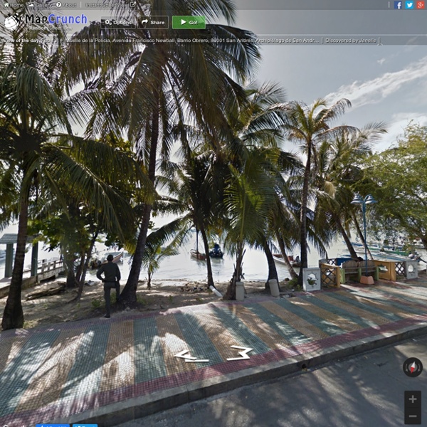
Tanks for the SOP how to Deal with MapCrunch by avayaoli Mar 24
Ok, here's how you play this : 1) Click random, 2) Try to reach your home. Rules: No teleport, Can use airports only if you actually reach them. If you want to play babby mode you can use taxis if you are on a city, otherwise, walk only. by yogurtito Mar 21