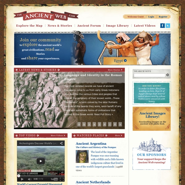
Welcome to The Ancient Web - The Ancient World's Great Civilizations
The Ancient Wall as a Cultural Barrier The great wall of china is the most monumental barrier ever created in the ancient world. It is easily the most popular image we associate with the ancient Chinese Empire itself, but it has become so mythologized by in our imagination that we don’t realize it was actually the most extreme cultural barrier ever created. It’s sole purpose was to separate two groups of people, those who were civilized, and those who were not. Read Full Story »
http://ancientweb.org/index.php/global
Abraham Lincoln's Crossroads
About the Exhibit: Abraham Lincoln’s Crossroads is an educational game based on the traveling exhibition Lincoln: The Constitution & the Civil War, which debuted at the National Constitution Center in June 2005. The online game is intended for advanced middle- and high-school students. It invites them to learn about Lincoln’s leadership by exploring the political choices he made.
2,000-Year-Old Mosaics Uncovered In Turkey Before Being Lost To Flooding
We usually write about new contemporary artists at Bored Panda, but these fascinating discoveries recently made by a team of archeologists in the Turkish city of Zeugma has given us the opportunity to witness the unveiling of Greek and Roman art that hasn’t been seen in thousands of years. The site caught the attention of the international archaeological community when it was threatened by flooding due to the construction of a nearby dam in southern Turkey in 2000. When a team of archaeologists led by Professor Kutalmış Görkay of Ankara University began excavating, they found stunning and well-preserved glass mosaics rich with color. Read on for more information about this fascinating find!
Who Invented Yoga?
History has always been important to me: history keeps me connected and history gives me perspective. But history can also be complex and confusing. How old are our asanas or meditation practices? Answer: it depends, because there are so many expressions and schools of yoga. What was the social condition of India like during Buddha’s time?
Regimen Sanitatis Salernitanum - A Salernitan Regimen of Health
A Salernitan Regimen of Health The Regimen Sanitatis Salernitanum is one of the most popular poems in the history of both medicine and literature. Written sometime during the twelfth or thirteenth centuries, there have been over 100 manuscript versions and approximately 300 printed editions. Although the work claims to be the product of the famous medical school of Salerno, Italy, and written for an anonymous English king, the true author is entirely unknown.
Flail
In Latin there was a word that stood for 'a winnowing tool' or 'whip'. It was flagellum (which was, itself, a diminutive, or more concise, form of the word: flagrum: 'to whip'). Some sources give the origin of the Latin as a Proto-Indo-European word: bhlag, which signified 'to beat'. The people of the northern Europe region who spoke Old High German converted the Latin word into its own: flegel.
First People of America and Canada - Native American Indians. Turtle Island. Legends, Treaties, Clipart.
Ancient Origins
Related:


