

Playing with data: our ODI open data board game Playing with data: our ODI open data board game For the last six months, on and off, a few of us here at the Open Data Institute have been working on an open data board game. Ellen Broad and Jeni Tennision discuss its development Board games have been experiencing a resurgence in the past few years and, perhaps unsurprisingly, there are several keen board game enthusiasts here at the ODI. The idea of an open data board game was born out of discussions between us about why Monopoly was so awful, our favourite games, and the mechanics that made them work. Build ODK Build is a form designer with a drag-and-drop user interface. Build is an HTML5 web application and works best for designing simple forms. Using the Application Please read all the instructions and notes before beginning.Go to and sign in.Add a new prompt, by dragging the elements from the bottom of the screen onto the blank canvas.For each prompt, modify its properties on the right portion of the screen.Prompts can also be rearranged through drag and drop.When the form is finished, go to the File menu, Save and then Export to XML.
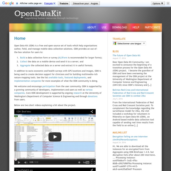
Collect ODK Collect renders forms into a sequence of input prompts that apply form logic, entry constraints, and repeating sub-structures. Users work through the prompts and can save the submission at any point. Finalized submissions can be sent to (and new forms downloaded from) a server. Currently, ODK Collect uses the Android platform, supports a wide variety of prompts (text, number, location, multimedia, barcodes), and works well without network connectivity.
ROMEO - Research Western ROMEO is an online management system Western uses to manage human research ethics submissions. Western, St. Joseph’s Health Care London and Lawson Health Science Centre researchers/investigators use ROMEO to submit proposed research studies to the office of Human Research Ethics. *Please note: ROMEO is not compatible with Safari; please choose an alternate browser XLSForm XLSForm (formerly XLS2Xform) is a tool to simplify the creation of forms. Forms can be designed with Excel and XLSForm will convert them to XForms that can be used with ODK tools. Using the Application To design your form read XLSForm form design help and check out the sample Excel file.Once your xls form is ready submit it for conversion in the area below: Useful Notes
Developer Tools Before installing Android Studio or the standalone SDK tools, you must agree to the following terms and conditions. This is the Android Software Development Kit License Agreement 1. Introduction Briefcase Use ODK Briefcase to easily gather and aggregate data from ODK Collect when you are without internet connectivity or do not want to set up an ODK Aggregate server (or other ODK-compatible server). Additionally, you can use ODK Briefcase to incrementally pull data from ODK Aggregate (or push data to ODK Aggregate); the resulting local copy of your data can then archived or transformed by your own tools and transmitted to a third-party application. ODK Briefcase can: pull blank forms and finalized forms (submissions) from ODK Collect or ODK Aggregate into a local ODK Briefcase Storage location.push blank forms and finalized forms (submissions) from the ODK Briefcase Storage location up to an ODK Aggregate 1.0 instance.export the finalized forms (submissions) to a CSV file for processing by other applications.
PlumX Metrics - Plum Analytics PlumX Metrics allows you to get more value from an institutional repository (IR) by embedding the altmetrics about your research directly into the IR. These altmetrics are about the different versions of the same article – not just the one in the IR, so your authors can see the impact and reach of their research in just one place. This makes your IR a more valuable place for research and encourages your authors to deposit their articles and other research.